發(fā)布:2025-04-14 瀏覽:0
1、衛(wèi)星影像的核心優(yōu)勢
1. The core advantages of satellite imagery
通過 多光譜遙感 與 合成孔徑雷達(dá)(SAR),AI可提取林分三維特征:
Through multispectral remote sensing and synthetic aperture radar (SAR), AI can extract three-dimensional features of forest stands:
覆蓋廣度:單顆衛(wèi)星日監(jiān)測面積超100萬公頃(相當(dāng)于500個團(tuán)隊(duì)工作量);
Coverage breadth: The daily monitoring area of a single satellite exceeds 1 million hectares (equivalent to the workload of 500 teams);
精度突破:結(jié)合LiDAR點(diǎn)云數(shù)據(jù),樹高反演誤差從±3m降至±0.5m;
Precision breakthrough: Combining LiDAR point cloud data, the tree height inversion error has been reduced from ± 3m to ± 0.5m;
動態(tài)追蹤:季度級更新林分生長狀態(tài),自動標(biāo)記異常區(qū)域。
Dynamic tracking: Quarterly updates on forest growth status and automatic labeling of abnormal areas.
(圖表建議):人工巡查 vs. 衛(wèi)星AI的誤差率、成本、時效性對比雷達(dá)圖
(Chart suggestion): Comparison radar chart of error rate, cost, and timeliness between manual inspection and satellite AI
2、AI算法的“學(xué)習(xí)”邏輯
2. The 'learning' logic of AI algorithms
數(shù)據(jù)融合:將歷史調(diào)查數(shù)據(jù)、氣象記錄、土壤類型等輸入模型,建立蓄積量預(yù)測函數(shù);
Data fusion: Input historical survey data, meteorological records, soil types, etc. into the model to establish a volume prediction function;
特征識別:基于卷積神經(jīng)網(wǎng)絡(luò)(CNN)自動分割單木樹冠,測算郁閉度與胸徑;
Feature recognition: Based on convolutional neural network (CNN), automatically segment the crown of a single tree, calculate canopy closure and breast height diameter;
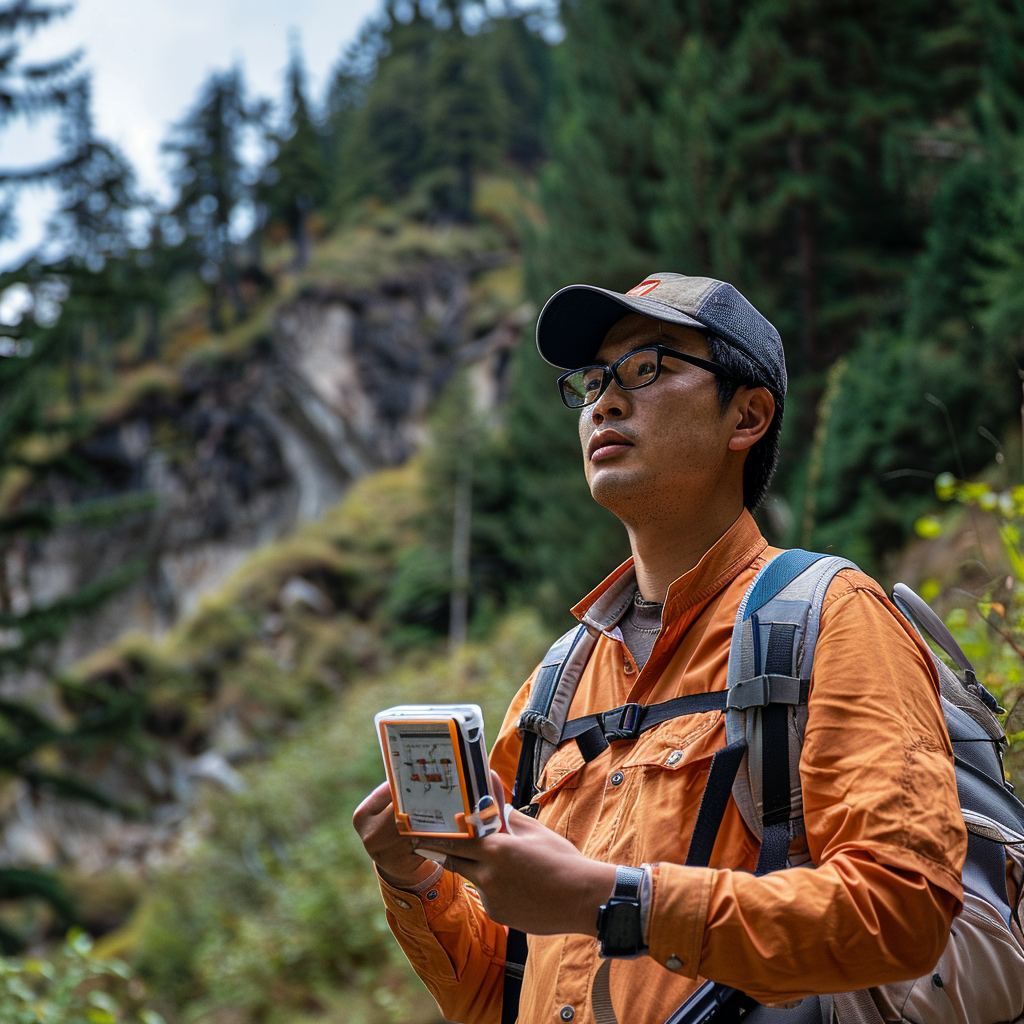
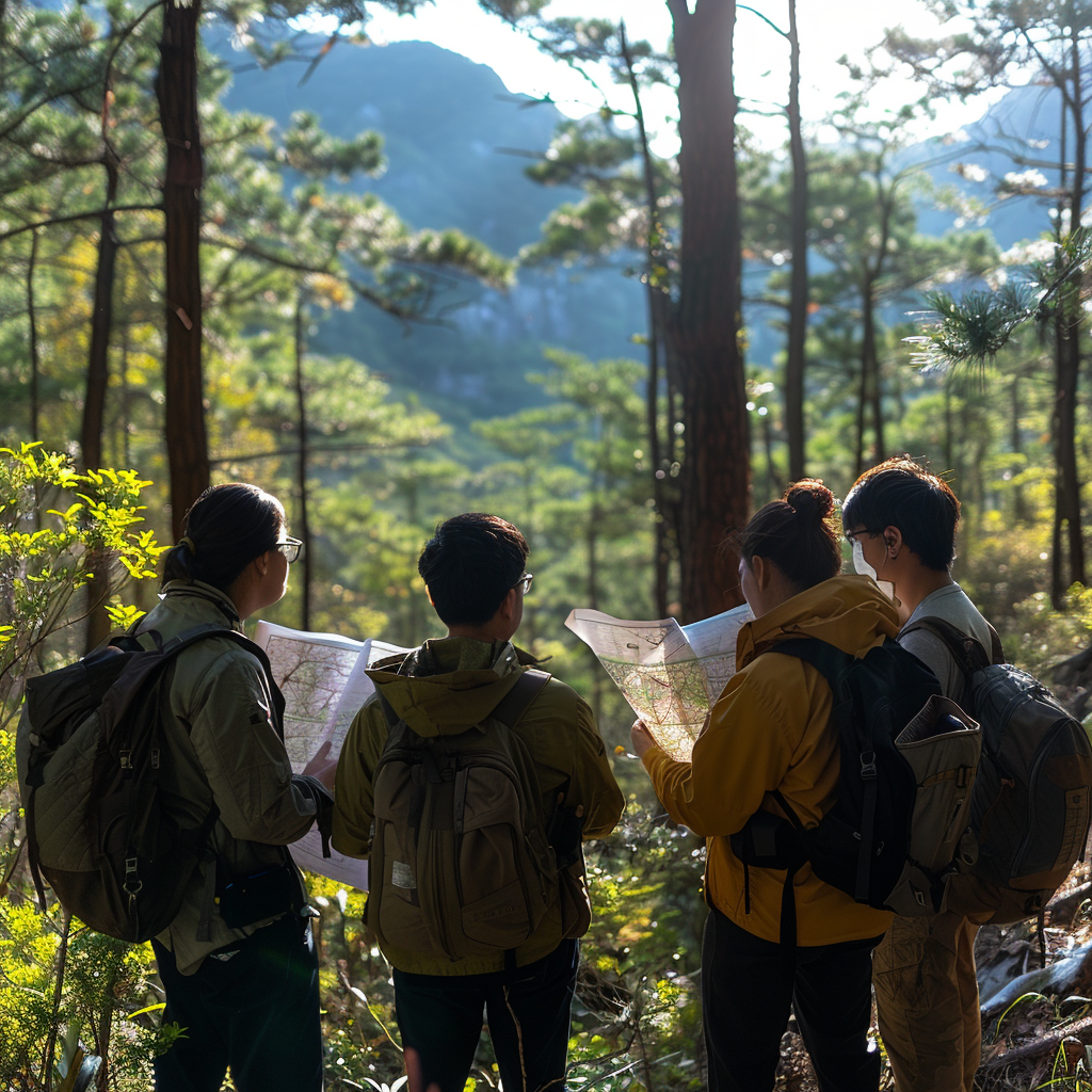
持續(xù)優(yōu)化:通過遷移學(xué)習(xí),在云南松林區(qū)訓(xùn)練的模型可快速適配東北落葉松林。人工巡查長期面臨 效率低、成本高、主觀偏差大 的難題:
Continuous optimization: Through transfer learning, the model trained in the pine forest area of Yunnan can quickly adapt to the deciduous pine forest in Northeast China. Manual inspection has long faced the challenges of low efficiency, high cost, and significant subjective bias:
人力局限:復(fù)雜地形中樣地布設(shè)不均衡,漏測率達(dá)15%-25%;
Human resource limitations: Uneven distribution of sample plots in complex terrain, with a missed measurement rate of 15% -25%;
數(shù)據(jù)滯后:手工記錄到分析報告周期超1個月,無法應(yīng)對病蟲害突發(fā)監(jiān)測;
Data lag: Manual recording to analysis report cycle exceeding one month, unable to cope with sudden monitoring of pests and diseases;
成本壓力:偏遠(yuǎn)地區(qū)人均調(diào)查成本超300元/公頃,占項(xiàng)目總預(yù)算60%以上。
Cost pressure: The per capita survey cost in remote areas exceeds 300 yuan/hectare, accounting for over 60% of the total project budget.
影響專題報告編制項(xiàng)目(1)")
3、爭議與挑戰(zhàn):AI真的是萬能解藥嗎?
3. Controversy and Challenge: Is AI really a panacea?
盡管技術(shù)優(yōu)勢顯著,但需警惕 三大陷阱:
Despite significant technological advantages, there are three major pitfalls to be wary of:
數(shù)據(jù)質(zhì)量依賴:云層覆蓋、傳感器分辨率不足導(dǎo)致局部誤判;
Data quality dependence: cloud cover, insufficient sensor resolution leading to local misjudgment;
算法黑箱風(fēng)險:缺乏林業(yè)經(jīng)驗(yàn)的團(tuán)隊(duì)可能過度依賴模型輸出;
Algorithmic black box risk: Teams lacking forestry experience may overly rely on model outputs;
初期投入門檻:高精度衛(wèi)星數(shù)據(jù)采購+AI平臺搭建成本約50-80萬元。
Initial investment threshold: The cost of purchasing high-precision satellite data and building an AI platform is approximately 500000 to 800000 yuan.
4、行動指南:林業(yè)機(jī)構(gòu)如何落地AI評估?
4. Action guide: How can forestry institutions implement AI assessment?
數(shù)據(jù)準(zhǔn)備階段:
Data preparation stage:
優(yōu)先采購Sentinel-2(10m分辨率免費(fèi)數(shù)據(jù))或高分系列衛(wèi)星影像;
Prioritize the purchase of Sentinel-2 (10m resolution free data) or high-resolution series satellite imagery;
建立本地化樣本庫(至少500個標(biāo)準(zhǔn)樣地數(shù)據(jù))。
Establish a localized sample library (with at least 500 standard plot data).
模型訓(xùn)練階段:
Model training phase:
選擇輕量化算法(如隨機(jī)森林回歸)降低算力需求;
Choose lightweight algorithms (such as random forest regression) to reduce computing power requirements;
與氣象局、土壤站合作接入多源數(shù)據(jù)接口。
Collaborate with meteorological bureaus and soil stations to access multi-source data interfaces.
應(yīng)用迭代階段:
Application iteration phase:
每月人工抽檢3%-5%區(qū)域反饋至AI系統(tǒng);
3% -5% of areas are manually sampled and feedback is provided to the AI system every month;
重點(diǎn)優(yōu)化陡坡、混交林等復(fù)雜場景的識別邏輯。
Focus on optimizing the recognition logic of complex scenes such as steep slopes and mixed forests.
本文由森林資源資產(chǎn)評估友情奉獻(xiàn).更多有關(guān)的知識請點(diǎn)擊:http://m.kkpcgoldfoam.com我們將會對您提出的疑問進(jìn)行詳細(xì)的解答,歡迎您登錄網(wǎng)站留言.
This article is dedicated to friendship For more information, please click: We will provide detailed answers to your questions. You are welcome to log in to our website and leave a message